Wednesday, June 28, 2017

The Chesapeake & Ohio Canal Trail -- 184 miles to Washington DC!

Hello from Cumberland, MD, from where I will set out tomorrow on another famous trail route I've been hearing about for ages!  This is also unpaved; we shall see how the trail surfaces compare with those on the North Bend Rail Trail... Today I spend a good while in the Visitors' Center, gathering some much needed maps and information on negotiating the various stretches.

First stop in Maryland was in Oakland, in the southwest corner. Wonders never cease.  On a much needed rest day (meant to be uneventful) I met a elderly gent (Ariel) in the area's Historical Museum who, after a brief introductory conversation, proposed taking me out on a scenic tour into some of the more remote and beautiful mountains of West Virginia near Monongahela National Forest.  This fellow, although a bit unsteady on his feet, was a superlative driver, and had a sporty car which he clearly loved showing off.  Well.  This turned into a 4-hour afternoon of gorgeous vistas including the mountain ridge named Dolly Sods, and a rock formation known as Seneca Rocks.  I got an earful of local lore from this 2nd or 3rd generation resident of the area, was introduced to some new (to me) classical recordings, and we exchanged much interesting conversation in the process. The thing of it is - this countryside was some of what I missed when I opted to alter my route off of the American Discovery Trail for that stretch beyond Clarksburg, WV.  Wonders never cease...

The terrain in these past days has continued steep, and sometimes treacherous on the wind-y parts of the commercial routes.  As has often been the case, the road shoulders disappeared in spots, leaving me hugging guardrail and switching sides of the road for the best visibility to traffic.  But now I will be on a trail all the way to the Capitol!  Will I parade past the White House with my cart, flying the Climate Flag?  184 miles to go before I have to decide!

Mountain ridge called Dolly Sods


Seneca Rocks - a well known rock climbing destination


Along Route 135, Maryland

Canal area of Cumberland, MD.  The Episcopal Church, upper left, was former site of Ft. Cumberland, used by George Washington.  Tunnels underneath were formerly part of the Underground Railroad.


Cumberland County Courthouse


Friday, June 23, 2017

Thank you, West Virginia; hello, Maryland!


I can hardly believe it, but I crossed into Maryland yesterday.  However, I'm not quite done with the wonders of West Virginia, which for me were mostly about amazing people and steep, leafy mountains!  For a good part of the distance walking the North Bend Rail Trail I was taken under the wing of West Virginia's ADT coordinator Sharon, and the network of people she and her husband know along the route.  After the aforementioned encounter with the couple in Salem it was pretty regular random acts of kindness as I covered the last three days to the Maryland state line.

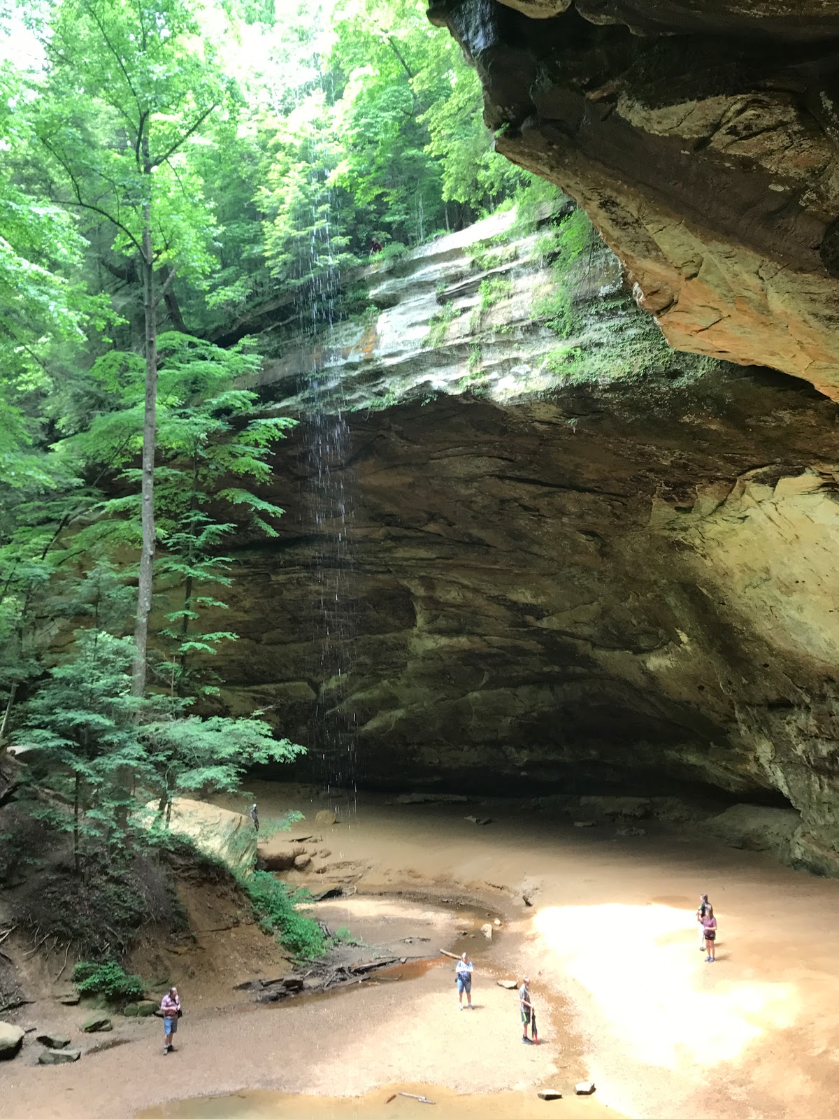
These were rather ambitious days, as it turned out.  I'd been 'sheltered' from many of the hills while walking on a converted railway line, and although some real challenges were expected, I'd flattered myself that the Rocky Mountain crossing was pretty good training(!)  Anyway, the most mountainous part of West Virginia is in the eastern part.  From a conversation I had with a support person who was following a cross-country bicycle race (Race Across America), I learned that the slopes of the Appalachians include the most elevation gain per mile of any of the U.S. mountain ranges.  We're not talking about elevations at all comparable with the height of those in the west.  The highest point, Mt. Mitchell is 'only' about 6700', but I now have a new understanding of what Appalachian Trail walkers are dealing with.   During the past three days of  'hill climbing' I ascended and descended more 8, 9, and 10% grades than I wanted to count, and today I am feeling the accumulated effort! Have made it here (to Oakland, MD) in time for a week-end of stormy weather (which actually started early, raining both evening and morning on the camping place I left yesterday!)  And, BTW, I do know that I'm not finished with hill climbing yet...

There has been a real shift in my thinking in some ways, during the course of this endeavor.  For example, abandoned/ruined buildings have always fascinated and drawn me with the impulse to explore. But now this attraction is mixed with a certain poignancy as I pass so many shuttered businesses, houses falling to rubble, trash-strewn properties with (I imagine) no one left to care for them.  And I guess what's even sadder is that so many teetering buildings that look abandoned are, in fact, occupied. One listens to the rants of so many of our politicians and can only wonder, "What in the world are we thinking?"


Cool Springs Park.  Interesting camping spot, with a water wheel, antique farm equipment and an assortment of animals across the creek.


Monday, June 19, 2017

West Virginia and the North Bend Rail Trail

As you might have noticed from the last post, I was able to manage a visit to the Hopewell Nat'l Historical Park's Pre-Columbian mound site, which was breathtaking, as well as a detour to the Hocking Hills State Park area where I spent a happy day and a half hiking for the scenery(!)  A moment's twinge of something like guilt for my 'indulgence' in tourism was short lived as I remembered that, after all, 'paying respect to land and cultures' is a primary motivating reason for this walk.

A few days later I had a lovely visit in Athens, a very interesting island of progressivism (sort of like Yellow Springs), in the midst of increasingly conservative Ohio.  Now I am getting acquainted with the many different faces of West Virginia, an eye-opening and sometimes sobering experience.  A proud tradition of hospitality holds sway, and people generally fend off compensatory gestures, offering to share whatever they have, which, in some cases, is heartbreakingly little.  Trail (road) angels come in all economic conditions.

The North Bend Rail Trail runs roughly parallel to Route 50 between Parkersburg and Clarksburg. I walked 50 of the 72 mile stretch which was unpaved and, while fairly level, was sometimes challenging on the uneven grassy or gravel surfaces, which require a good deal more pulling (of my cart) than is usual on paved surfaces. Nevertheless, it was a beautiful stretch punctuated by cool, dark tunnels.  I kept my headlamp handy!

As has been the case all along, I've enjoyed innumerable blessings on a near daily basis.  But one incident has to be noted.  The other day was my b-day, and I had been planning on camping that night. But weather looked ominous, so I decided to seek out some cover.  In the town of Salem I was delivered to the home of an elderly couple, Suzie and Joe Davis, who keep a tiny apartment off of their garage, just for trekkers and transients!  And I heard some interesting stories about a few of their guests. Well, if that weren't enough this devoutly religious couple provided dinner, breakfast, and upon learning that it was my bday, husband Joe went right out to the Dairy Queen and came back with a bday cake.  I was overwhelmed...


Destination for a scorchingly hot day?


New state!

Great old hotel in downtown Parkersburg, WV - the Blennerhassett

Welcome to the North Bend Rail Trail


Cairo, WV


This trail has lots of tunnels - flashlights necessary!


PS - I got interviewed by a reporter with an Athens, OH newspaper.  Lots of inaccuracies, but here's the link, for anyone who wants to have a look. You'd probably have to copy/paste the whole line, as it won't work as a direct link... sorry.


Friday, June 9, 2017

Indulging in awesomeness...


Mound site at Hopewell  Culture National Historical Park 
Hocking Hills State Park


You can climb this tower; nice view and the only phone access around!


Along Route 56

Saturday, June 3, 2017

Yikes! Talk about complex a routing guide! And some more serious hills start here in Chillicothe!


 "  ...Cross under US 35. Turn S on grassy bench and in 360' turn back toward corner of highway D50115 -82.8341 837 fence (no bench). At corner of fence, begin arc that leads to an opening in a pile of logs that line the north edge of this grassy fill area with no established, marked trail. Do not climb over highway fence. In 920', ford an intermittent stream in broad swale and begin long ascent on benched trail with several switchbacks. In 3900', turn SE onto old skid road that undulates and winds along a wooded ridge. In 2300' as skid road begins ascent, turn SW onto footpath that returns to the skid road in a saddle in 780'. 560' SE past a fenced microwave tower is a wonderful view of the Scioto R. valley from Hang Glider Hill. Trail joins service road and descends W to saddle where road turns sharply S and descends more steeply. At the bottom of the hill (2100'), service road turns NW parallel to CSX tracks. In 1500', service road turns W across the CSX tracks and through gate. 1.472..."  

Well, this part is certainly meant for walkers (read that - backpackers!)  Much of the guide reads something like this and although there are alternate routes for cyclists (or my cart) it is all given east to west, making it all but impossible for the 'directionally-challenged'!  I will have to do my best on roads.  They do get considerably more 'wind-y' from this point.  And hillier, too!  In about Frankfort (15 miles back) the terrain changed abruptly, from the flatter, glacially impacted southwestern part of Ohio, to the part that is sometimes referred to as the Appalachian foothills.  I have poured over the American Discovery Trail instructions for hours and do not know how to rejoin it at this point, without giving myself a headache!

Yesterday was a good walk day on another converted rail line, mostly through woodlands fragrant with honeysuckle and other flora I couldn't identify, chattery with birdsong, and alongside a river for much of the way.  I have paused here in Chillicothe to consider my route going forward and, at the moment, can't say that the way is at all clear!   Offers of camping hospitality, showers and meals continue to blow me away.  As do the amazing and kind people I am meeting:  a farming family transitioning to sustainable practices; a hard-working and crusty campsite owner who 'gets it' - lone liberal among his Republican friends; and a Native horsewoman living on her late grandmother's land beside the (former rail line) trail. This area is a rich center of ancient Native American sites, with burial and astronomical mounds dating back several thousands of years. Certainly worth exploring, though, for logistical reasons, this is most likely not in the cards for me this trip.

And, for the record - almost to a person, the folks I've met DO care about the environment! Sustainability is not simply the preoccupation of a fringe of  'tree-hugging progressives'.  Hey, even corporations are getting on board!  Updates to follow...


How far?